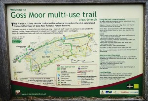
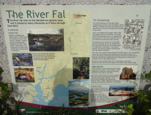
The Goss Moor multi-use trail is a 7 mile (12 km) circular route around the Goss Moor in Cornwall. This trail is covered by OS Explorer Map 106 Newquay & Padstow which you can view using the link. The map on the information board below also gives information about the trail (just without the full contour detail you get from an Ordnance Survey map).
Now a nature reserve the moor has previously been the site of medieval alluvial tin extraction, sand extraction and most famously the old route of the A30; Cornwalls main transport artery.
This long straight 2 lane road was the main route in and out of Cornwall and was infamous for bottle necks leading to it often being referred to as Cornwalls largest car park (due to the hours many spent sitting there in stationary traffic). During the solar eclipse in 1999 some entrepreneurial young Cornishmen even walked up and down between the stationary traffic selling cold bottles of drink and snacks such were the queues encountered.
As someone who has spent hours sat in traffic on the A30 at Goss Moor the transformation of that road into a multi-use trail seems incredible. Now the traffic has been replaced with cyclists, runners and walkers. This is now a peaceful place where nature is free to breath.
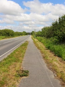
Some of the old A30 road still exists as ‘road’. But it is now relegated to a quieter B road. The iron bridge is still there. This low bridge on the main A30 was constantly being driven into by high-sided vehicles, jamming up the road for hours and effectively cutting off West Cornwall from the rest of the UK.
Before you reach the road and the iron bridge the Goss Moor trail takes you across the Newquay branch line and onto a very quiet country road.
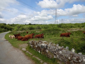
The road is so quiet that we find a group of cows and calves resting on the road and have to run around them.
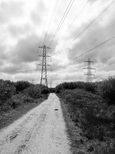
The Goss Moor is not only Cornwalls main route for traffic, but also its main highway for electricity. It is also the source of the river Fal.
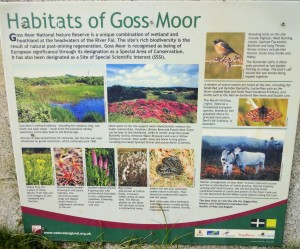
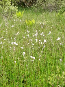
Despite the power lines the Goss Moor is home to much wildlife, some of it unique to the moor.
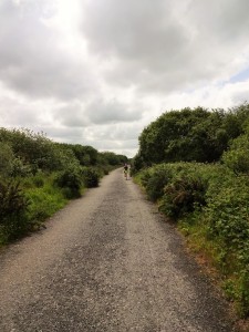
Being a marsh the route is very flat, but the trails are very well maintained and dry throughout.
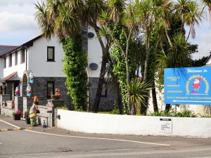
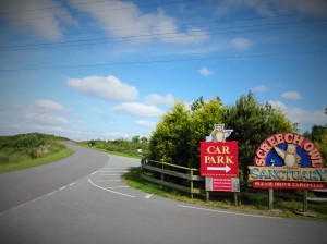
On the run back there is a chance to see the existing A30 as the route crosses the road using a footbridge. There are also local ‘attractions’ such as ‘Gnome World’ and the ‘Screech Owl Sanctuary’.
Overall the route is a very pleasant circular run that unusually for Cornwall is flat. So if you fancy a break from the coast path and want something flatter or if you have ‘fond’ memories of the old A30 why not give this trail a try!
Also if you want to race this route, part of the trail also makes up the route of the Indian Queens Half Marathon in August. Organised by Newquay Road Runners.

